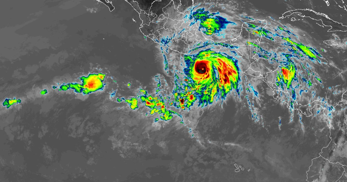
Hurricane Erick — the fifth-named storm of the Eastern Pacific hurricane season — is intensifying as it continues on a path toward Mexico. The National Hurricane Center said Wednesday morning that Erick is forecast to rapidly strengthen throughout the day and become a major hurricane as it approaches southern Mexico on Thursday.
As of 2 p.m. ET Wednesday, Erick had upgraded to a Category 2 storm with sustained winds of nearly 100 mph and higher gusts. Hurricane-force winds extend 15 miles and tropical storm-force winds extend 105 miles from its center.
This map shows the projected path of the storm:
Nikki Nolan/CBS News 
The center of the storm was forecast to approach the coast of southern Mexico Wednesday night and move inland Thursday, prompting a hurricane warning from Acapulco to Puerto Angel. A hurricane watch has also been issued from west of Acapulco to Texpan de Galeana.
A tropical storm warning is also in effect for east of Puerto Angel to Salina Cruz and west of Acapulco to Tecpan de Galeana.
The National Hurricane Center warned that Erick is rapidly intensifying and is forecast to become a major hurricane before it hits land. Major status begins at Category 3 on the Saffir-Simpson Wind Scale, with winds between 111 mph and 129 mph, strong enough to cause “devastating damage,” according to NOAA.
“Well-built framed homes may incur major damage or removal of roof decking and gable ends,” NOAA says of the category’s potential impacts. “Many trees will be snapped or uprooted, blocking numerous roads. Electricity and water will be unavailable for several days to weeks after the storm passes.”
The National Hurricane Center said “devastating wind damage is possible where the core of the storm moves onshore.”
Nikki Nolan/CBS News 
“Preparations to protect life and property should be rushed to completion,” the center said.
Categories 4 and 5 have even greater impacts, with the ability to cause “catastrophic damage,” the service says. That scale, however, just accounts for wind.
“Water hazards — storm surge and inland flooding — have historically been the leading causes of loss of life during hurricanes,” NOAA warns. “Hurricanes can also bring strong winds, tornadoes, rough surf, and rip currents.”
Nikki Nolan/CBS News 
Erick is forecast to produce between 8 to 16 inches of rain, with maximum totals of 20 inches across the states of Oaxaca and Guerrero, the National Hurricane Center said, leading to “life-threatening flooding and mudslides, especially in areas of steep terrain.” Chiapas, Michoacan, Colima, Jalisco and Mexico City are expected to see between 2 and 4 inches of rain.
Dangerous storm surge, which is a rise in sea level during the storm, is also expected to create coastal flooding and be accompanied by “large and destructive waves.”
Erick is on track to impact Acapulco, an area that was devastated by Hurricane Otis in October 2023. Otis hit the city as a Category 5 and left dozens of people dead after its wind speeds increased by 115 mph in a single day — the second-fastest recorded rate in modern times, according to the National Hurricane Center.
“We are left with nothing,” one woman said. “Everything is damaged.”
maps-show-hurricane-ericks-projected-path-toward-mexico-as-storm-rapidly-intensifies-to-category-2-in-pacific


Leave a Reply